


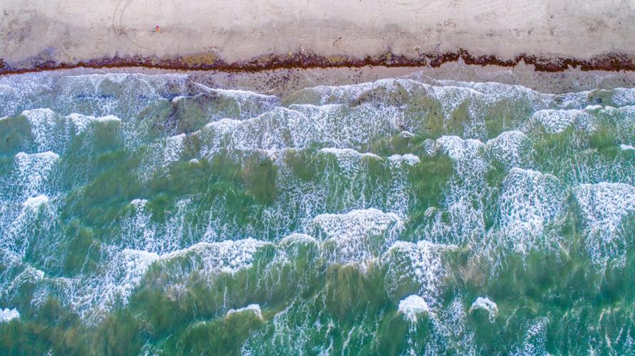
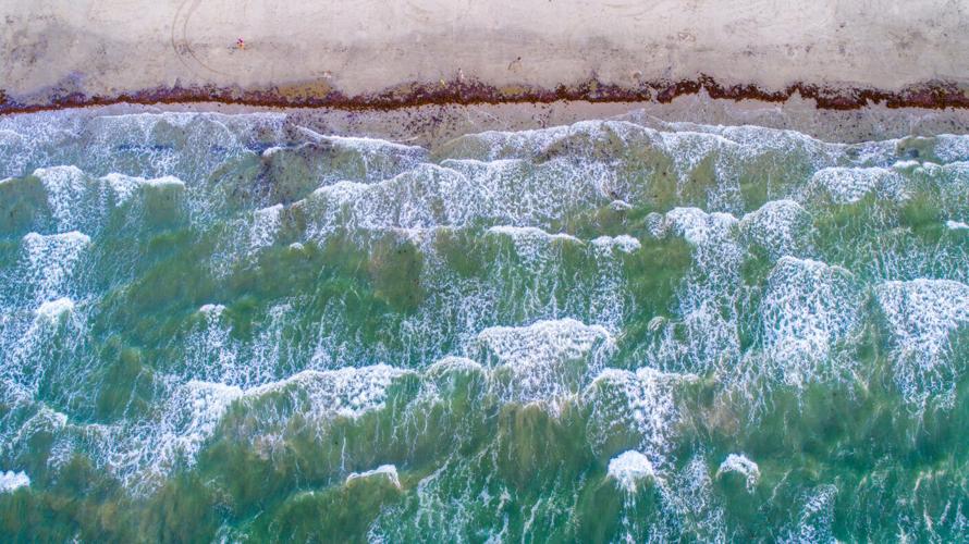
Understanding the dynamics of how water moves is deceptively simple in concept and endlessly complex in practice. Real-world marine environments are anything but controlled: weather, seasons and geography change constantly. Yet understanding water movement is a critical aspect in areas of study like marine biology, coastal and environmental science, and even policy around how we recover from natural disasters.
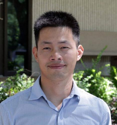
Dr. Jiabi Du, assistant professor of marine and coastal environmental science at Texas A&M University at Galveston, is spearheading the comprehension of ocean circulation and dynamics by creating detailed 3D ocean models that simulate how water moves throughout Gulf environments.
“I like to use 3D models as a major tool to help me understand the underlying physical processes and mechanisms driving all the interesting phenomena we have seen,” Du said.
People are also reading…
Du has spent years developing a high-resolution coastal ocean model for the northern Gulf. His model can replicate oceanic conditions such as water level, ocean currents, waves, temperature and salinity with stunning accuracy, requiring hundreds of processors to simulate on a powerful supercomputer.
“We can comfortably use 400 CPUs to do all the simulations,” Du said. “It gives us pretty good efficiency — about 24 hours for a one-year simulation.”
These 3D models are endlessly customizable, making them invaluable tools for isolating impacts from different forces — such as tide, wind and hurricanes — and measuring how they affect the whole system. When integrated with real-world observations, applications for these findings are widespread. For instance, his simulations show that prolonged low salinity after Hurricane Harvey’s extreme precipitation may have resulted in a 100% mortality rate for oyster reefs.
Apart from zooming in on individual variables, Du’s models can also simulate the entire Texas Gulf to see how water currents affect particle transport. In a recent study, Du used 3D models to simulate how microplastics produced in Texas distribute through the Gulf, finding that they could travel all the way to Mexican shorelines while the chance for microplastics to move from Mexican shorelines to Texas is much smaller. Without using a model to visualize how far particles can be transported, the investigative work of correlating microplastics in Mexico back to Texas would be difficult.
“With this large model of the Gulf, we could identify how microplastic particles move along the entire Gulf coast,” Du said.
The applicability of these models has been recognized by many, including the Texas Water Development Board (TWDB). The board asked Du to help develop a hydrodynamic model of the Texas coast, responsible for simulating currents, salinity, water level and temperature. Delivered in 2025, the Texas BAYCAST model is publicly accessible and provides a continuous five-day forecast of water conditions. This model will be used to support the Texas General Land Office’s oil spill response by forecasting the movement of spilled oil.
Du anticipates working with the TWDB again to provide an update incorporating more variables into the model. “The next phase of improving the model would add additional components like water quality, chemical processes, sediments and more,” Du said. “We are the only group that can provide this kind of model for the government.”
Leveraging the reliable hydrodynamic model he helped to create, Du was recently funded by Texas OneGulf to develop a coupled physical-biological model to understand how oyster larvae move in Galveston Bay. Findings from this project will heavily inform oyster restoration efforts, aquaculture and oyster farms alike. Du seeks to incorporate more than 20 years of past hydrodynamic simulation data to perform long-term simulation and analysis on how these organisms respond to varying Gulf water conditions.
Although hydrodynamic 3D models are incredibly informative, Du is continually striving to improve their output and efficiency. Alongside his modeling efforts, he is developing an autonomous robot that can go out into storm conditions and take live readings of floodwaters. By measuring factors like water velocity, salinity and temperature during natural disasters, Du believes that those flooding events can be modeled more accurately.
“Simulated models cannot give the truth on the ground in times like these,” Du said. “So, what if we take a few ground surveys to supplement these models?”
From tracking microplastics to optimizing oyster restoration, the applications of these 3D models continue to expand alongside Du’s drive for precision. As he works to integrate autonomous robotics into his simulations, the result will be a clearer, more accurate picture of our oceans that serves both the scientific community and the public at large.


